Colmars-les-Alpes


Col d'Allos

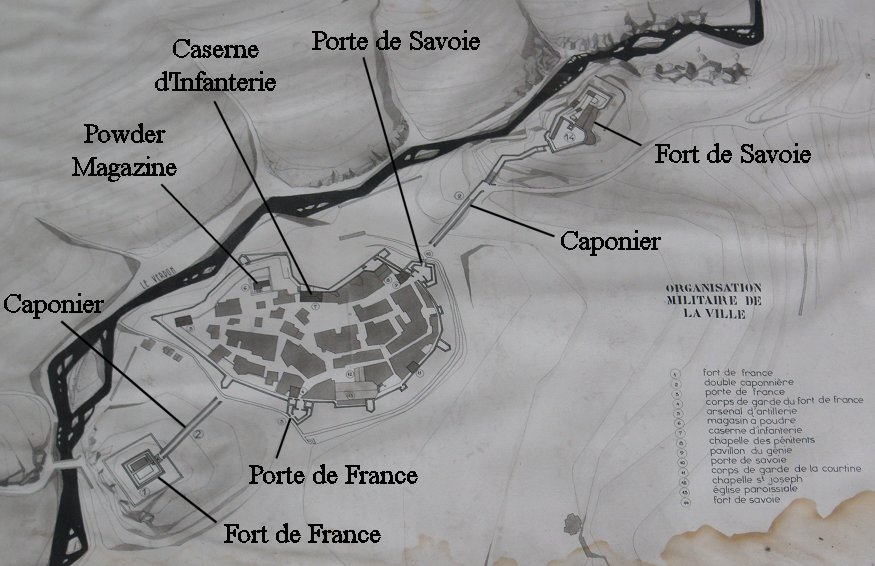
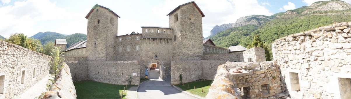
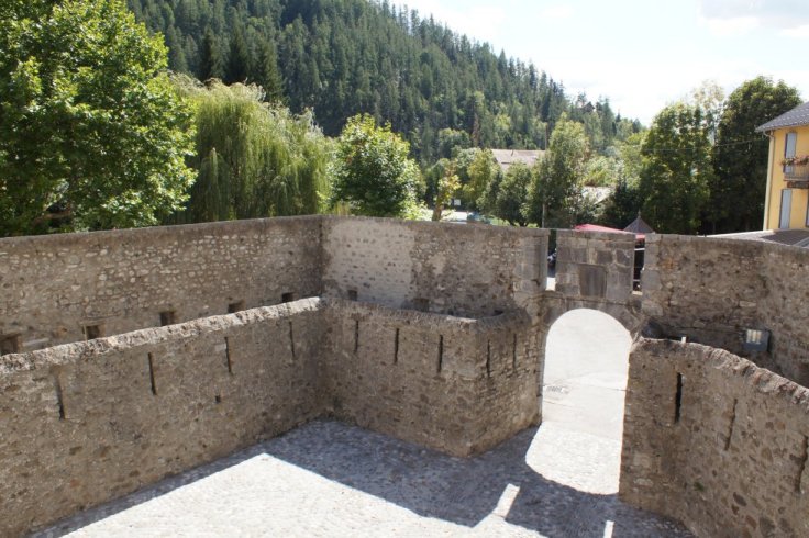
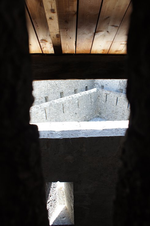
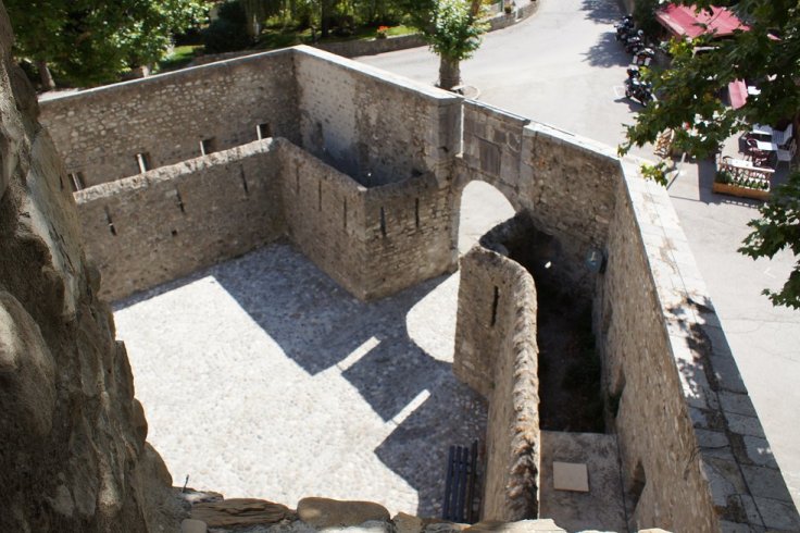
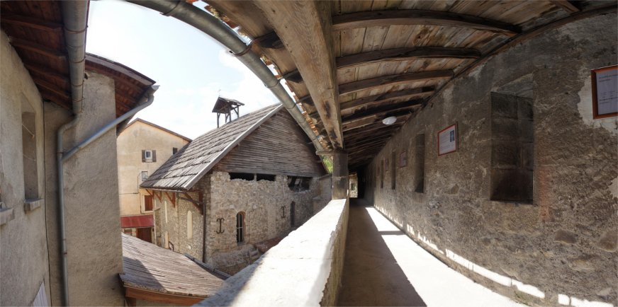
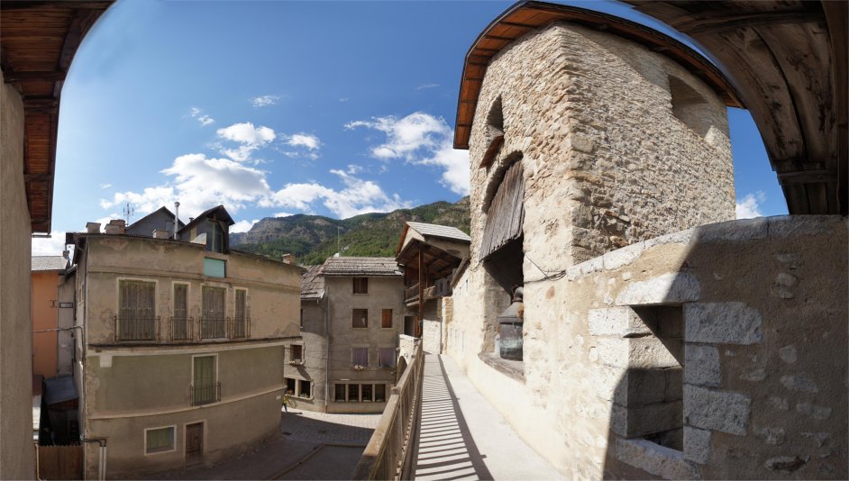
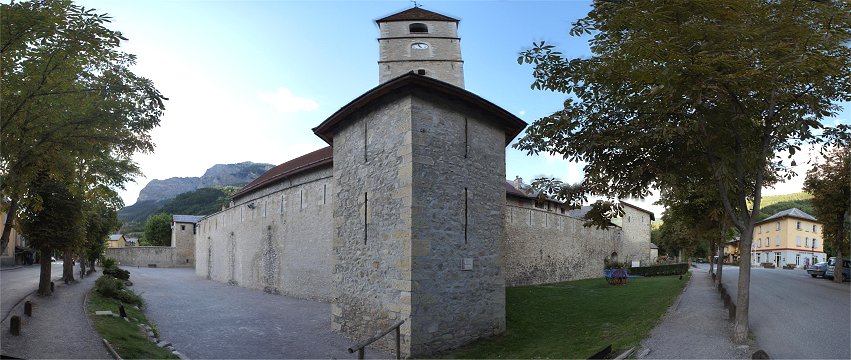
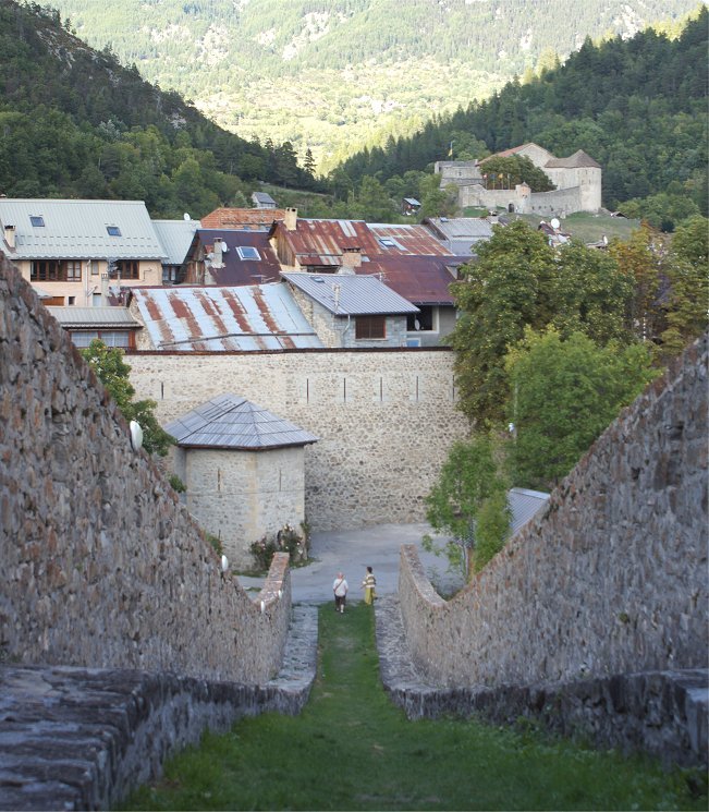
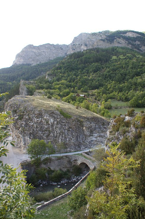
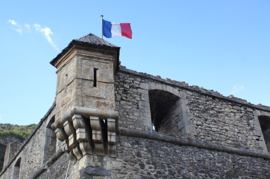
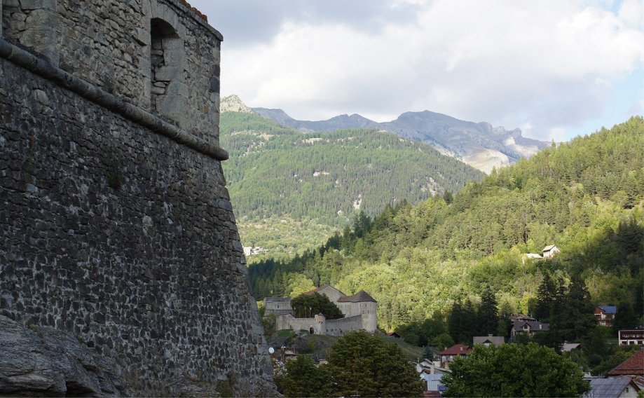
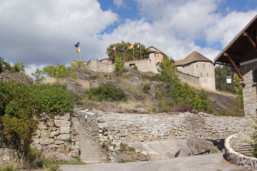
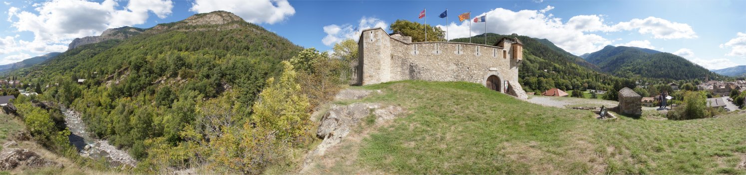
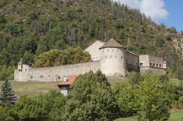
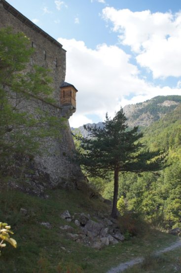
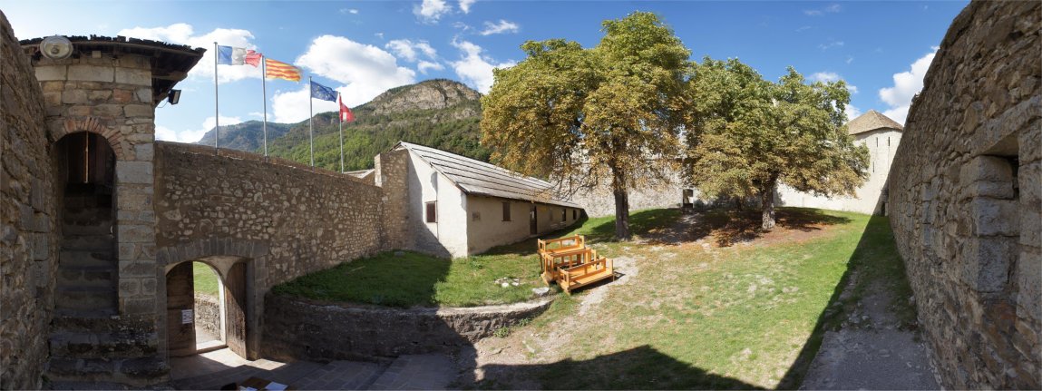
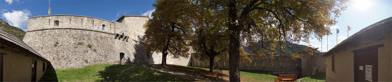
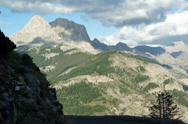
The name "Colmars" is devived from the Latin "Collis Martis", a hill dedicated to Mars, the god of war.  Colmars in the French Alps was fortified in medieval times, and defenses were strengthened in the 1500s.  To the north, the Col d'Allos separated France from Savoy, sometimes an ally and sometimes an enemy.  A crude track south over the col was the only route from Savoy to the French town of Colmars.  The passage could be safely made only during the warmer season, and the journey was difficult enough that the French assumed that a Savoyard army could not bring heavy artillery.  This greatly simplified the task of fortifying the town of Colmars.  The Savoyards did cross in 1690 and besieged the town, but a small French force sent them back where they came from.     


The governor of Provence, Niquet, started improving the town's defenses, adding five bastions to the town walls and two detached forts.  In 1692, the enemy surged west past Queyras and Guillestre to Embrun.  This alarmed the king, and Vauban was sent south to improve Alpine defenses.  At Colmars, Vauban thought that the Savoyards could bring artillery over the Col d'Allos and made plans accordingly.  Vauban wanted to connect two detached forts, the Fort de Savoie and the Fort de France, as well as surround the town with a new line of defenses with four three-story tower bastions (one facing the river) and two demi-lunes.  The tower bastions were nearly 20 meters high and designed to house artillery and defenses generally were designed to protect against fire from higher ground - always a concern in the mountains.  The ditch for these defenses would be filled with water from the river.  In 1693, Marshal Catinat and his engineer Richerand visit Colmars.  They believed that the Savoyards could not bring heavier artillery over the Col d'Allos so Vauban's planned defenses were more than what was required.  There was also a lack of funds, so the plans were not implemented.  In 1713, the Ubaye valley on the north side of the Col d'Allos was transfered to France, so the threat to Colmars was much reduced.  The 17th century defenses of Colmars survive largely intact and are rewarding to visit.


Vauban's Planned Tower Bastions


Porte de Savoie


The entrances to town were given added protection.


Porte de France

This entrance is similar in design to the Porte de Savoie.  The ramparts and several towers can be toured as part of:

http://www.haut-verdon-maison-musee.com/


Small and Large Bastion Interiors


Ramparts


Caponier

At left is the caponier to the Fort de France on a hill south of town.


Caponier

Walking up hill along the caponier, if you look back you can see the town walls and the Fort de Savoie in the distance.


Fort de France overlooks the old bridge for the road that continues south.  The river flows down to Entrevaux, a town with more extensive fortifications.


Fort de France

At left you can see a traverse that separates the fort into two parts, protecting each from enemy fire from the rear.


Fort de Savoie can be seen in the distance.  We'll go there next.


Fort de Savoie


Viewed from town, you can see that the steps - the caponier - covered communication from the town to the Fort de Savoie.


Fort de Savoie


In this 360 degree panoram, at right you can see the town of Colmars.  At left you can see the River Verdon flowing past the town and you can also see that the fort is built on steep bluffs overlooking the river.  This side of the fort was well protected just by the terrain.  Before we enter the fort, we will take a look at it from the outside.  A look at the map below will be useful.  For reference, Echaughette "A", a sentry post, is visible in the panorama above.


In addition to his ambitious plans to connect the forts, Vauban's wanted the Fort de Savoie improved.  His suggested alterations can be seen at left in light colors.


Fort de Savoie


Echauguette "A" is at left, and echauguette "C" is at right.


Fort de Savoie


Echaugette "C" is on the right edge of the photo.


Fort de Savoie


Echaugette "B" overlooks the north face and the River Verdon.


Fort de Savoie


Returning to our starting point, we enter the 17th centry gate and into the bas fort - the lower portion of the fort.  The echaugette at left (see below) has slits facing out - but also down.


Fort de Savoie


The building at far left and far right is the corps du garde.  Now we proceed through the entrance on the left half of the panorama, covered by machiolation above, and into the main part of the fort.


Fort de Savoie


Now, directly in front of us in the distance is the powder magazine.  Over the wall at left are the bluffs and the River Verdon.  We'll take a right turn into the building and head to the round bastion, the Tour de Guet.


Fort de Savoie -
Tour de Guet

With firing apertures on two levels, the Tour de Guet has excellent views the area - 220 degree views.


Looking out one of the Tour de Guet's firing slits toward the entrance, you can see the thinness of the fort's walls.


Salle d'Armes


North Side of Fort de Savoie


Copyright 2015 by John Hamill


Back to John's Military History Tour of Europe