Butte des Eparges
In September 1914, after the initial advance into France had been
halted, the Germans once again went on the offensive, capturing land
south of Verdun, an area that would be known as the St. Miheil
Salient. The Germans strongly fortified the Butte des
Eparges to the east of the town of Eparges. The high ground there
overlooks the Woevre plain to the east. By February 1915, the
French high command became concerned with Verdun; the St. Miheil
Salient cut off one of the two major rail lines
into Verdun, and a German advance in the
Argonne Forest took another rail line to Verdun out of action. In
addition to attacks on Butte Vauquois, the French high command ordered
the recapture of the St. Miheil Salient, including the Butte des
Eparges on its northern side. On February 17, 1915, the French
conducted a major attack, preceded by the explosion of four mines.
Fighting continued into April. Point C was captured on
April 9th. Most of the ridge re-captured with the exception of
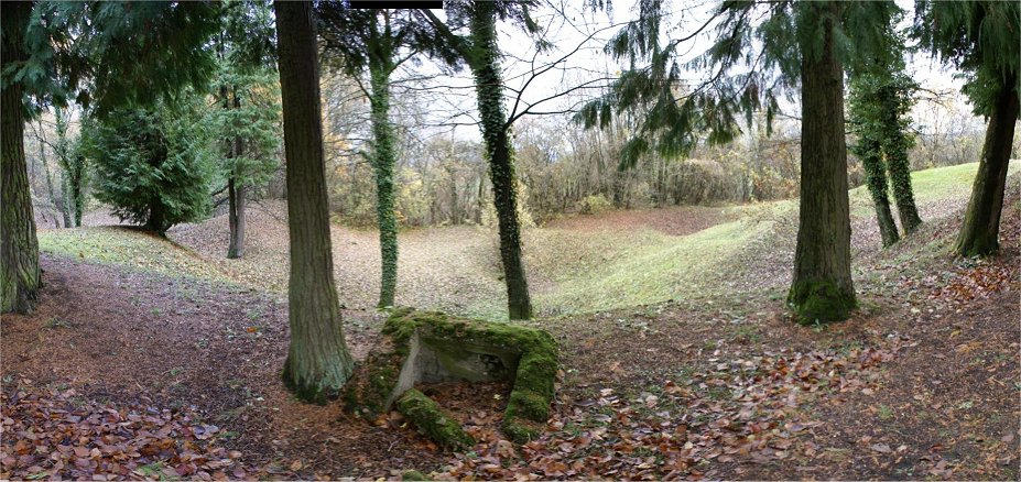
Point X that month. Point X would hold out until the American St.
Miheil offensive in 1918. In all, nearly 300 mines were blown on
the ridge during the war, with the largest being about 30 tons.
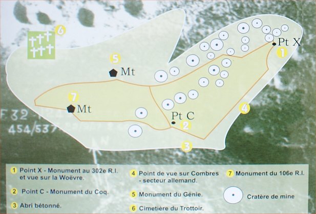
Map

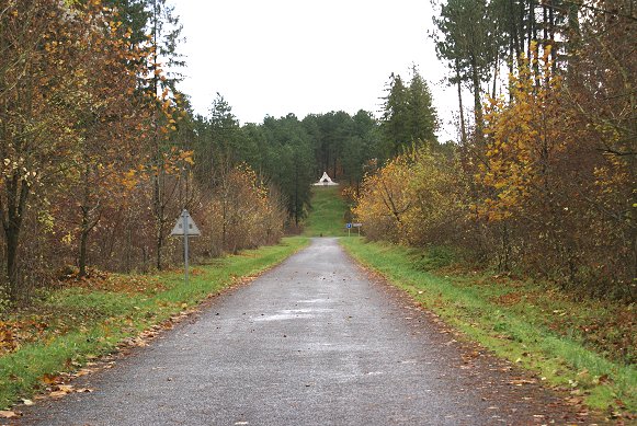
This is the view of the French side of the ridge, visible at right,
with the cemetert at the foot of the ridge. Down the ridge,
at right center, French troops attacked up the Ravin de a Mort.
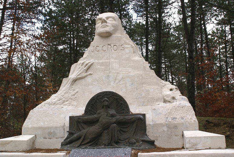
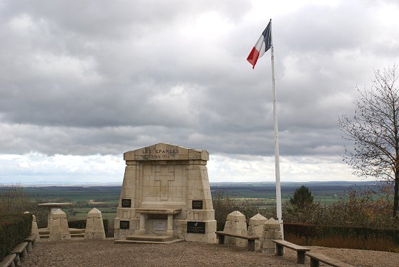
Monument to the 106th Regiment of Infantry
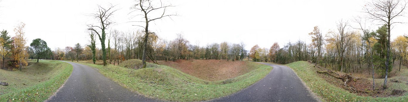
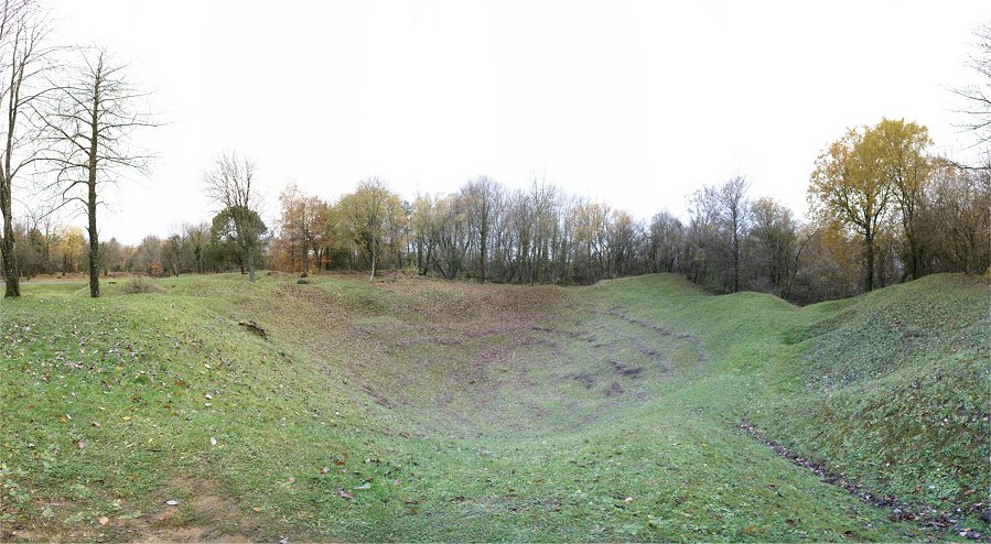
Mine Craters
Point X
Here, you can see that the ridge dominates the Woevre Plain.
Copyright 2010-11 by John Hamill