Gravelines


Gravelines is on the Channel coast at the mouth of the River Aa.  It was fortified by its Spanish overlords in the early to mid 1500s, replacing 14th century brick defenses.  Improvements were continued into the 1600s.  The French captured the fortress in 1644, but the Spanish recaptured it in 1652.  In 1658, Louis XIV captured the town again, with a young Vauban in attendance, and the 1659 Treaty of the Pyrennes confirmed the conquest.  Vauban's master plan for the defense of France included two lines of fortresses on the northern border - Gravelines was made part of this second line of fortresses facing the Spanish Netherlands, with Dunkirk being in the first line.  Vauban improved the fortress, adding water features like sluices to improve ship navigation and to permit flooding of the area outside of town, making a siege very difficult.  Vauban also had a detached work, Fort Philippe, built at the mouth of the river.  Privateers based out of Gravelines and Dunkirk had the potential to cripple the Dutch and English war efforts, and Marlborough advanced into the Flanders region during the War of Spanish Succession for that very reason.  


Porte aux Boulles - Model at Lille

To enter town through the Porte aux Boulles, four bridges over four water obstacles had to be crossed.  This layered defense made any siege of Gravelines a formidable undertaking, and as stated earlier, the defender had the option to flood the surrounding ground that any besieger would be forced to use.


Porte aux Boules

Some of the fort's water features have been filled in - in this case the ditch in front of a counterguard is partly filled.  The counterguard protects a bastion to its rear.


The Porte aux Boules, no doubt named for the balls atop the gate, was formerly known as Porte de Dunkerque.  It used to have a drawbridge.  The two main entrances to the town were through this gate or through the Calais gate on the opposite side of town.

To enter here, you first cross the drawbridge, through the Porte aux Boules and into the demi-lune, past the guardhouse, then through a gate in the curtain wall.  


Side view of the demi-lune.  The guardhouse can be seen on the right side of the demi-lune.  To allow modern vehicles into town, the entrance through the curtain wall has been widened.  Small boats can be rented to tour the fortifications by water.  Part of the water feature has been filled in - the car is parked in what used to be a wet ditch.


Modern auto entrance through curtain is at left.  The inside of the demi-lune with guardhouse is visible center-right.


Walls were built at an angle so that gravity would not, over time, tip them over.  At regular intervals, lateral buttresses were built behind the walls for the same purpose - and also to mitigate to some degree any breach of the walls caused by enemy artillery.


View from one bastion to another.  Many bastions are "Italian style", with recessed flanks.


Walking atop the curtain to one of the bastions, you can get some clue as to the extent of the outworks.


Continuing toward the next bastion you can see down the waterway, the channelized River Aa, leading to the English Channel.  Fort Philippe protected the mouth of the river.  A closer view (below) shows some details of the water control mechanisms and two monk's hats.


Citadel

The fortress has a unique citadel, built from 1528 on the site of the old medieval castle.   As can be seen here, the side facing the town retained a medieval trace and of course all the vulnerabilities of such a design.  The outer portion of the citadel was a modern bastioned trace.


Inside the citadel were a number of buildings, including a guardhouse, an arsenal, a powder magazine, and a bread oven.  In 1654, the citadel was partially destroyed by an explosion of the magazine.


Although the citadel may seem weak - because the full context is obscured - the model at Lille shows the extent of the layered defense.  There were eight layers at maximum in front of the citadel on the southwestern side.


Cistern


In a low-lying coastal area surrounded by standing water, safe drinking water was best obtained from rain water.  Built from 1724 to 1725, the cistern provided a store of 1,420,000 liters of drinking water to the garrison, distributed through bronze faucets shaped like dolphins.

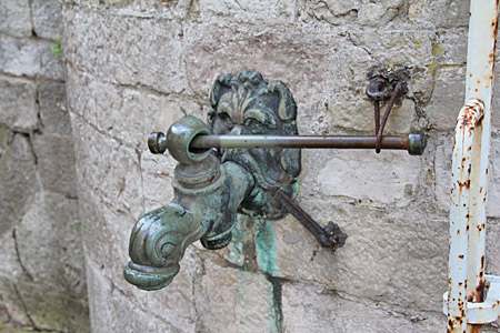
The cistern has two levels, the attic and the cistern proper that are accessed by an external staircase and gallery.  The vaulted cistern holds water brought by the aqueducts from the rooves of the neighboring church and Barracks Varennes - then filtered before storeage.


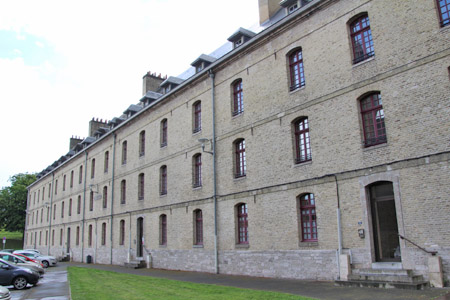
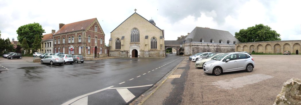
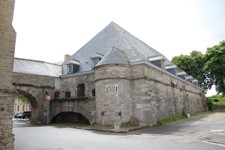
Varennes Barracks -date to 1737, could house 600 men.


In the panorama you can see the aquaduct connecting the church to the cistern.  The barracks are visible through the aquaduct's arch.


Not far from the fortifications is another great site for the historical tourist - a 17th century ship of the line, the Jean Bart, is being reconstructed.


Copyright, John Hamill 2017-18.


Back to John's Military History Tour of Europe