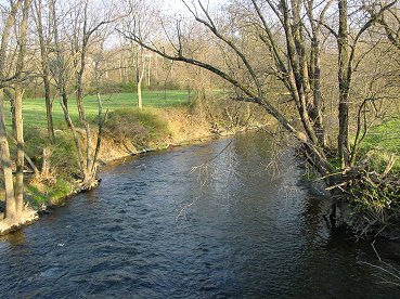
Brandywine Near Cornwallis Crossing
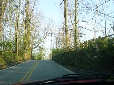
Near the Top of the Defile
Brandywine Preliminaries
|
Brandywine Near Cornwallis Crossing |
Near the Top of the Defile |
Patterned after his success on Long Island in August 1776, Howe divided his army into two parts, a diversion under Hessian Gen. Kynphausen advancing directly on the American main position at Chadds Ford, and the main column under Cornwallis accompanied by Howe making a wide turning movement to the north to get beyond the American flank and into their rear. The plan was risky and invited defeat in detail, but it had succeeded before.
Washington believed he covered all the fords over the Brandywine, but he was sadly mistaken. The creek forked several miles to the north and unprotected fords crossed each branch. On the morning of September 11th, Washington received reports that a large British column was heading north. He choose to believe a contrary report by a unit which had not detected the column. The Cornwallis column crossed the two forks unopposed and advanced up a wooded defile. His advance guard commander said that 100 men in the defile could have held off the whole British force; this was likely an exaggeration, but the potential existed for Washington to easily halt the main British column and attack Knyphausen.
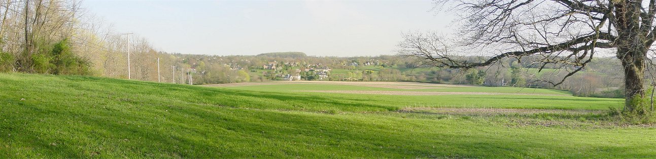
A) From Osborne's Hill
Maps of the battle usually show two oval hills, Osborne and Birmingham. In reality, the terrain is rolling and difficult for an eighteenth century army. On modern day Country Club Road you can approximate the view Sir William Howe had as he looked across the rolling hills. On the ridge in the distance with the prominent grove of trees Howe could see American troops deploying to meet his column. Near here, a Quaker boy stopped to watch the army pass and noted that the generals were as pale as city women. As the British approached the American flank, they took a lunch break.
Ahead of the main body, the British advanced guard clashed with American troops near Street Road. As a result, the army began to deploy - moving from the road into the fields in regimental columns to continue the advance in two lines of regimental columns.
The British line extended a considerable distance and could not have been very dense. In fact, as they approached the Continentals, gaps formed and the troops became misaligned. The Guards would become lost in a forest beyond the American flank and emerge only as the battle was ending.
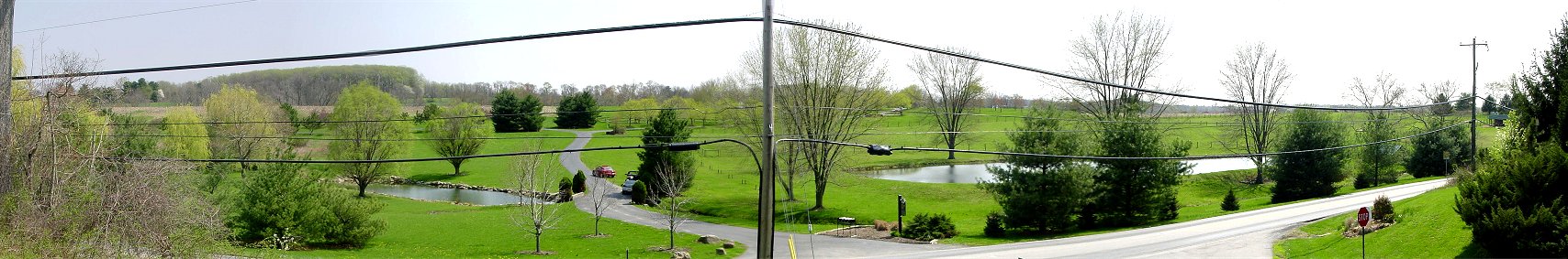
B) Sullivan Out of Position
Three American divisions, Stephen's, Stirling's, and Sullivan's, were moved to face the new threat. Stephen deployed on the right flank roughly behind the Birmingham Meetinghouse, Stirling deployed in the center, and Sullivan would take the left.
Sullivan followed the road along the Brandywine valley and turned right up Street Road. Street Road is visible, but obscured by brush, on the lower left of the picture, and more prominently, on the right of the picture. Sullivan came up the road from the right of the picture and reached the prominent hill or ridge visible on the right half of the picture. Here Sullivan could see the other two American divisions forming on the wooded hill on the left half of the picture in the distance. Sullivan had overshot the line by half a mile! As the British line was forming and starting the advance, Sullivan moved his division cross country to join the main line. Things weren't looking good for the home team.
The British were also somewhat disorganized. The Guards had veered too far right and crossed the road near here. They never did make contact with the American line and got lost in Wistar's Woods beyond the American position, only emerging after the battle was decided.