Ridgeline
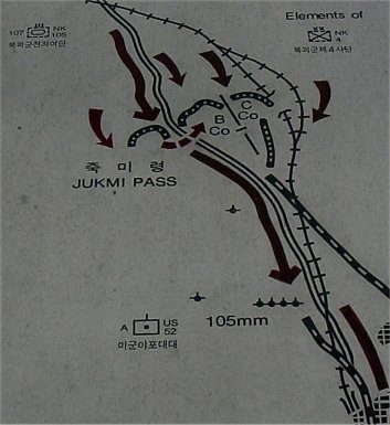
This map near the monument I'm told is not completely accurate. It does give a good general idea of the battle.
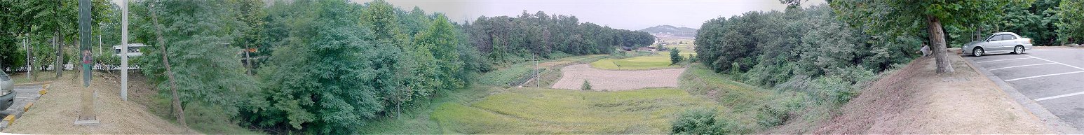
This is a pan looking north from the parking area on the east side of the road. The road is visible on the left.
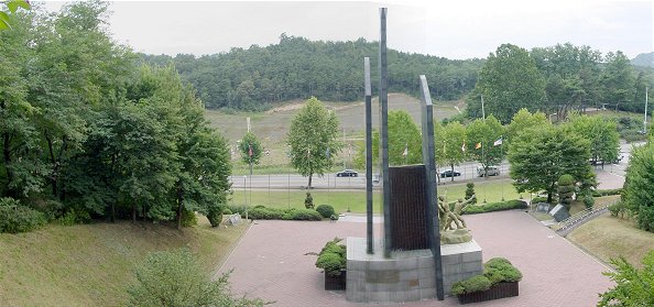
Just south of the parking lot is the monument. This is looking west to the knob the single platoon occupied and the extension of the ridge the North Koreans took, flanking the position. The railroad and its cut are post war.