St Mihiel - Montsec
German observation posts and trenches on the hill above Montsec
overlooked the American and French positions and was captured by the
French. The hill had been occupied since the Gauls in the fifth
century, BC and a castle was built on the hilltop in the eigth century,
AD. After serious consideration of Hattonchatel, that site was
rejected because it would require construction of a viewing structure
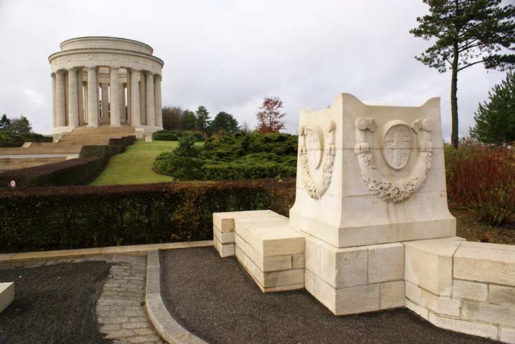
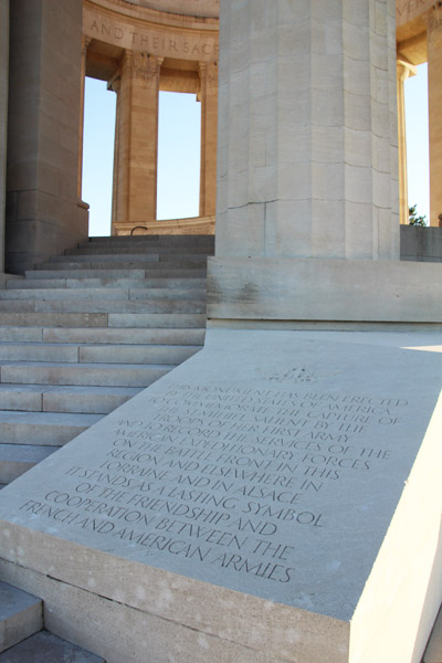
of up to 40 feet. So in 1929 the American Battle Monuments
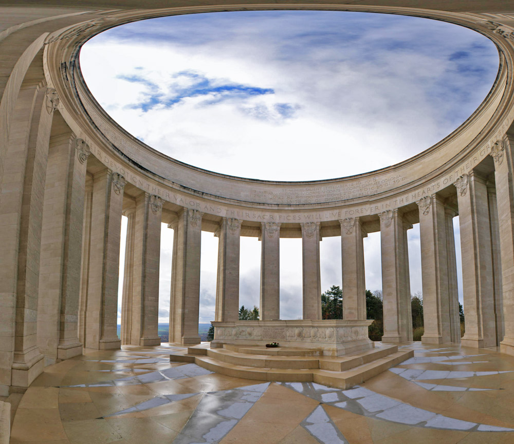
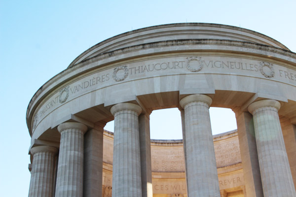
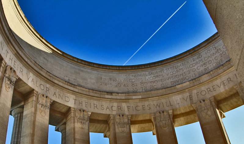
Commission started construction on a memorial to the offensive on the
hilltop at Montsec. Completed in 1932 at the cost of $433,507,
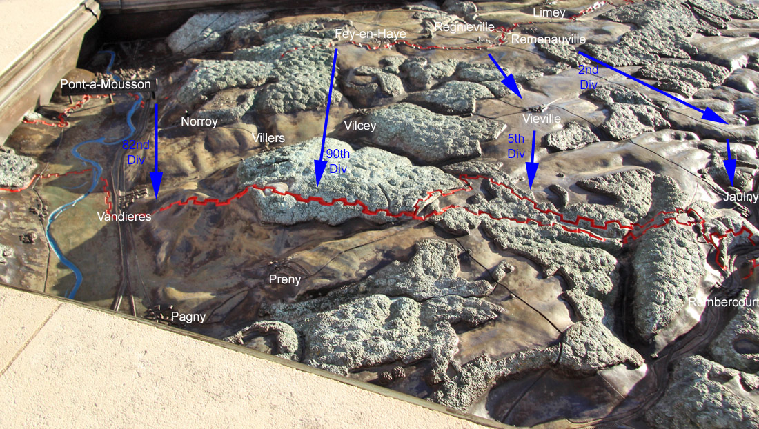
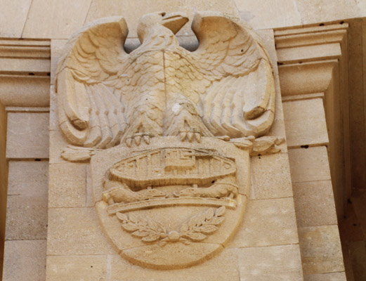
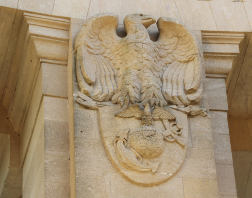
the circular memorial features an amazing brass relief map of the
salient. In September 1944, American forces fired on German
positions on the hill, causing minor damage which was repaired in 1948.
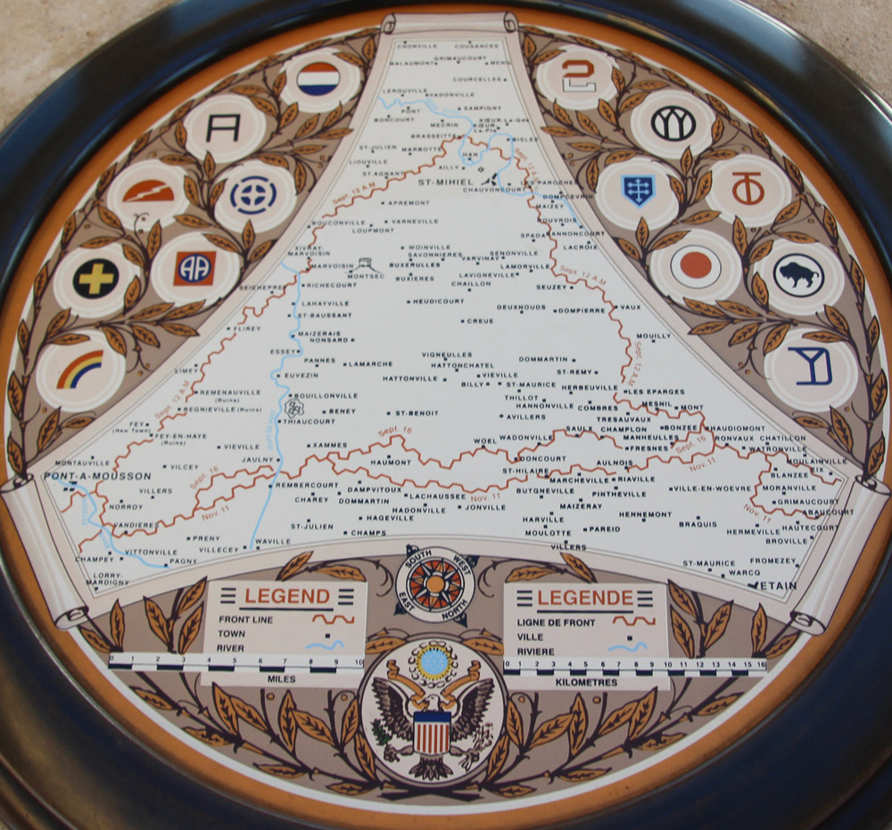
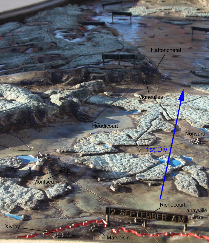
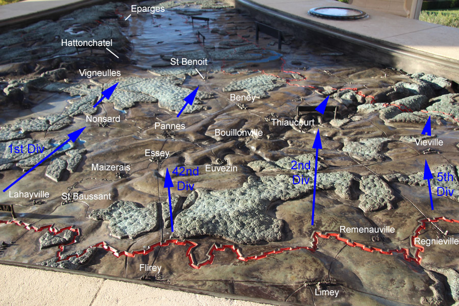
The lower section of the map marks the front lines after the offensive.
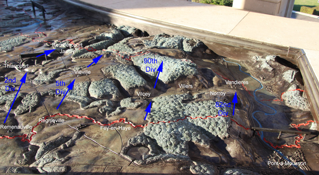
The primary American attack extended from Marvoisin to
Pont-a-Mousson in the direction of Vigneulles. The cemetery and
the Montsec memorial are marked on the map.

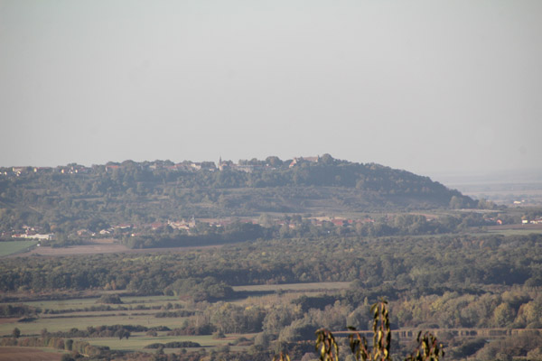
Views include Hattonchatel.

From East to South
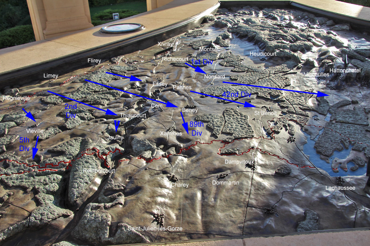
Starting and finishing trench lines are shown, but if there's an
deficiency in the relief map, it is that troop movements are not
represented and only a few important landmarks, so this is
corrected in the photos below. Views from all sides are shown,
starting from the west side then going along the south side.
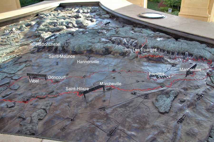
This is the view from the German side of the reduced salient.
After the September offensive, additional attacks were made up to
and into the Michel Zone.
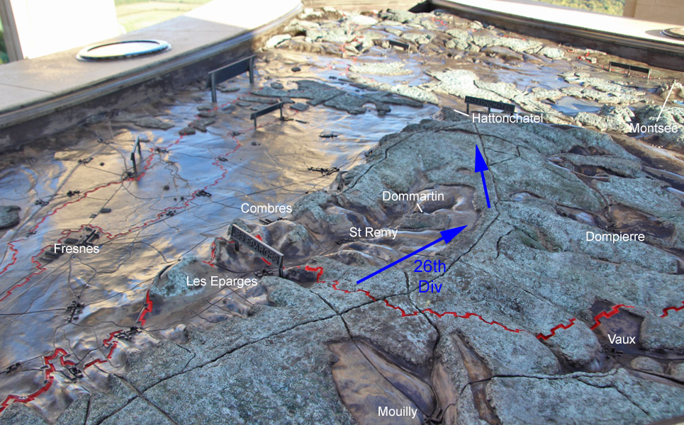
Western Face - The 26th Division was the main effort, supported by French divisions and the US 4th Division.
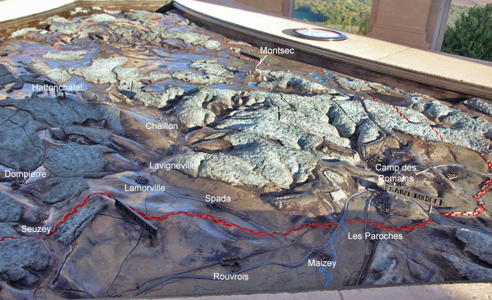
Further along the western face you can see the tip of the salient at St Mihiel.
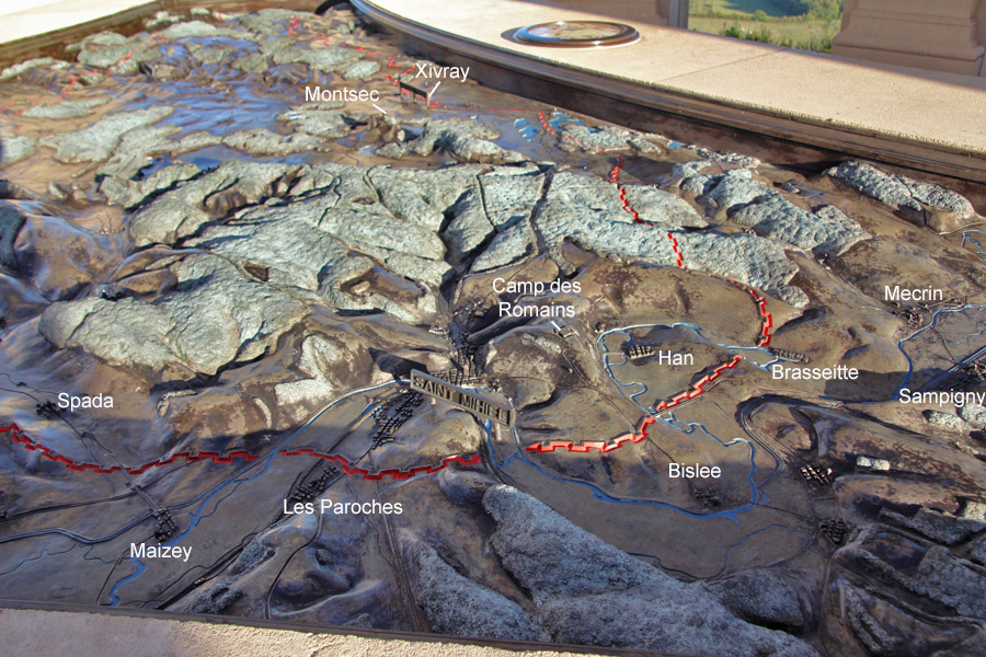
Tip of St Mihiel Salient
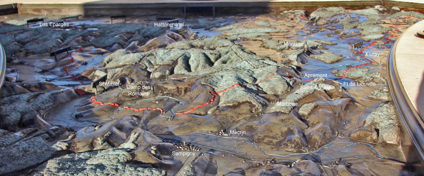
This was the French portion of the south face of the salient. The
American line starts at Xivray. The wooded hills now contain
remains of German defenses.
