The Battle of the Clouds
Or the Battle of Warren or Whitehorse Tavern or the Battle of Goshen
September 16, 1777
After Brandywine, Washington withdrew behind the Schuylkill, marched through Philadelphia, and headed northwest. Since the Schuykill was fordable only far upstream starting near modern Conshocken, Washington could protect both the capital and the vital supply areas to the west from behind the river barrier. He soon reconsidered, however, and re-crossed the river to face the British under Sir William Howe, who had moved little since Brandywine, probably for logistical reasons. (Logistical concerns were the usual cause of mysterious military activity and inactivity in the 18th century.)
On September 16th, Washington's 10,000 man army was moving west through the Great Valley, bound by the North and South Valley Hills on either side. He learned from his cavalry that the British were advancing on him from the south just a few short miles away. Although moving to the North Valley Hills would have given Washington more time to deploy and possibly fortify, instead he ordered the army south directly toward the enemy to take up a defensive position on the South Valley Hills. The position was three miles long and was strong, especially in the center. See map and errata.
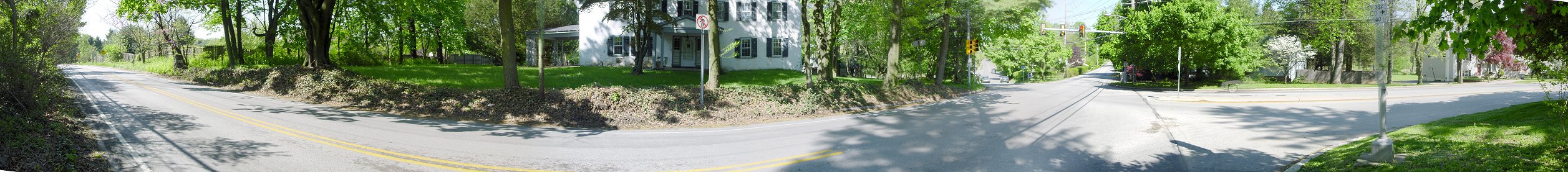
1) Three Tuns Tavern Intersection
This intersection roughly marks the left of the American position, which ran along King (or Indian King) Road, the road visible on the right of the picture and which crosses the Goshen Road at an odd angle and heads toward modern Immaculata College, the center of the American position. (Incidentally, King Road to the right heads to the Paoli battlefield, which at the time was less than five days away from becoming a battlefield.) The prominent white building is the Three Tuns Tavern.
Down the Goshen Road on the left of the picture, troops under Wayne, Maxwell, and Pulaski clashed with the advancing British and suffered twelve dead. The British column was composed of around 13,000 men, the majority of the British army facing Washington.
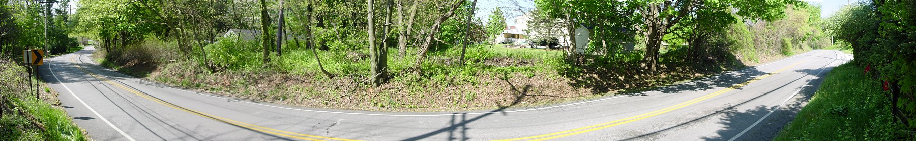
2) Goshen Road
This is the view from somewhat downhill along the Goshen Road. It gives a better indication of the height of the hill. Regardless of the strength of the ridge, the main British column was advancing along this road toward the American flank. It was a far from an ideal situation on the American left.