
From Crush Communism Toward Boomerang, Papasan, and Triangle Hill
Many thanks to Mr. McGinn for this series of photos. This photo is to the right of the Hills 682 and 717 shots and is looking generally north. The near hills on the far left have outposts. The river is the Hantan Chon. Papasan, or Hill 1062, is to the right, and Boomerang is directly below it. Please see the Boomerang section to see more on the June 14-15, 1953 Chinese attack here.
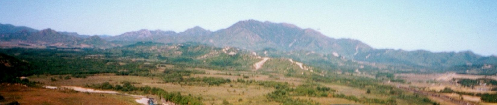
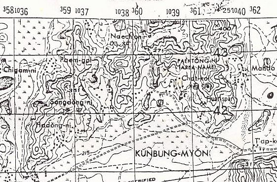
The mountain in the background is Papasan. The ridges in front are Boomerang. The nearest ridge is the left or western end of Boomerang. The ridge behind it is where the line bent back to the right or south. Between the two another ridge extends south. See map. Somewhere on the right center of Boomerang, before the ridge bends back south, is where my father was stationed with Co. F, 7th Regiment of the 3rd Division during the Chinese attacks. I believe the Chinese launched their attacks from the ridges on the left of the picture.