From Crush Communism Toward Boomerang, Papasan, and Triangle Hill Part 2
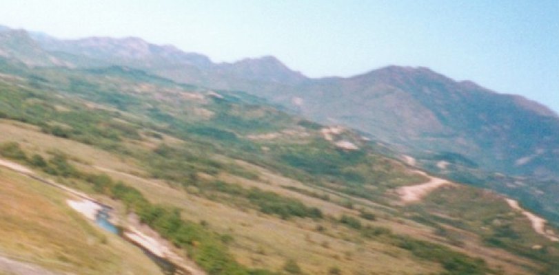
This second shot better shows the terrain of Boomerang.
This is one of my pictures toward Papasan. You can see Boomerang in front of Papasan, but the bushes unfortunately block much of the view. On the right you can see the ROK berm and fence at the DMZ. The mountain range above the berm and fence is in the area of the Triangle Hill complex, and may indeed be the hillmass. The hillmass includes Jane Russell, Pike's Peak, and Sniper Ridge. US Army troops fought a difficult and costly battle for the hillmass in 1952. ROK troops held the area during the great Chinese offensive in June 1953, of which the attack on Boomerang was a part.
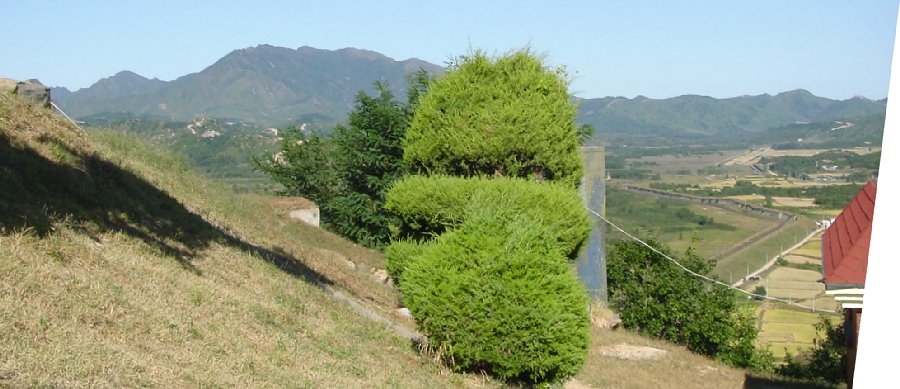
This George McGinn picture is to the right of the previous picture and is into the direction of the Triangle Hill Complex, which is probably on the far left. As you look more toward the center and right you can see another ridgeline. I believe this is called Anam-san. UN artillery was deployed behind the hillmass along the Nam Dae Chon River Valley.