Briancon


Col du Galibier

The Alps were enormous barriers to armies, and in the early modern era, the campaigning season was short, especially at high altitude.  Although the modern road over the Col du Galibier connects Briancon with points north, in earlier times movement in the Alps was for the most part channelized into the valleys.  Successful defense of places like Briancon and across another range of mountains - Chateau Queyras and Mont Dauphin - would make an invasion of France in this area very difficult.


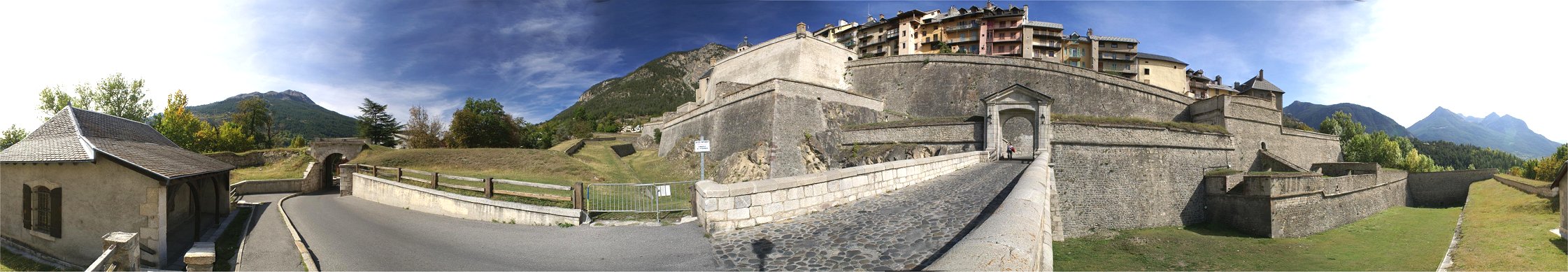
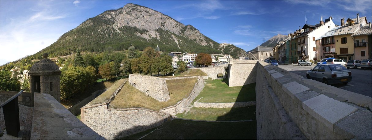
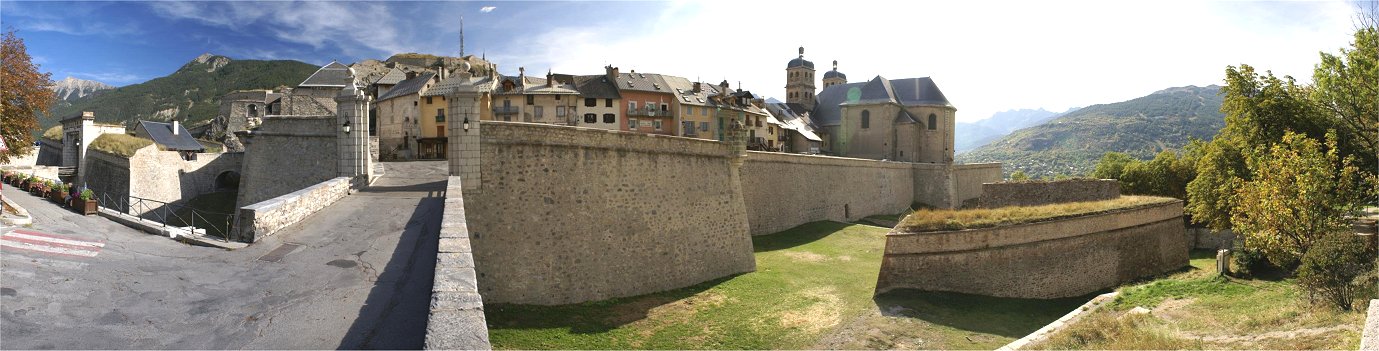
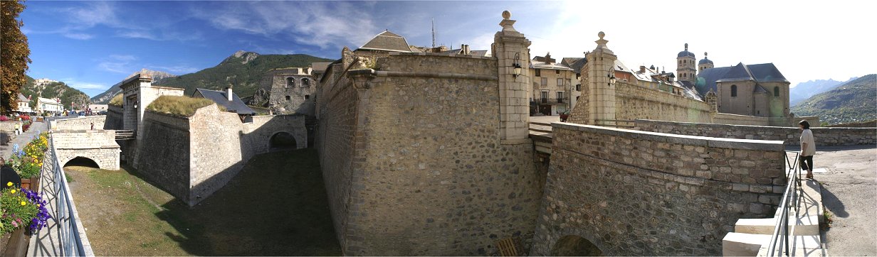
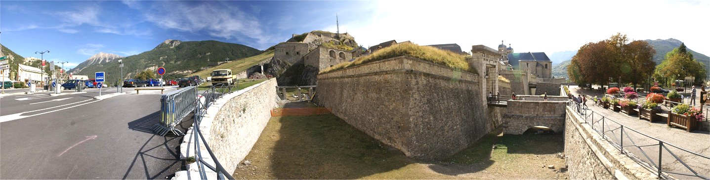
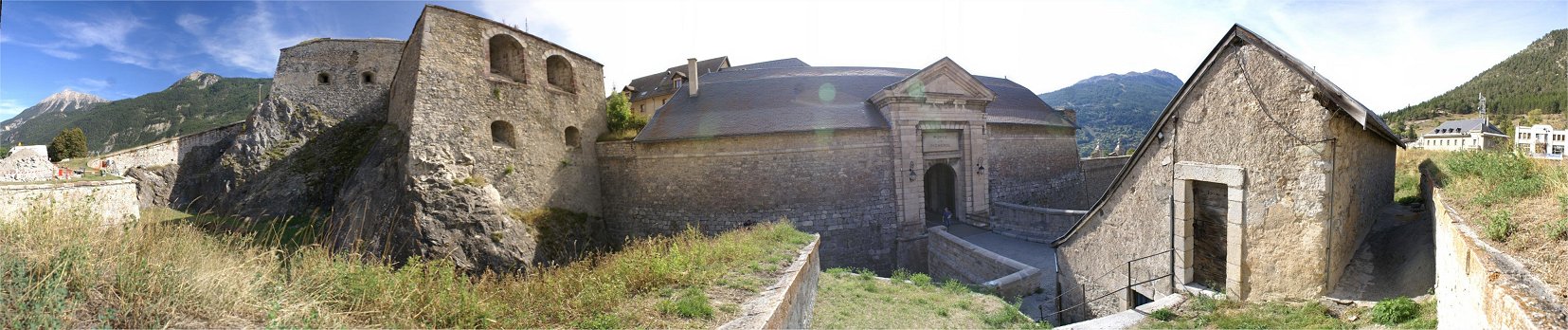
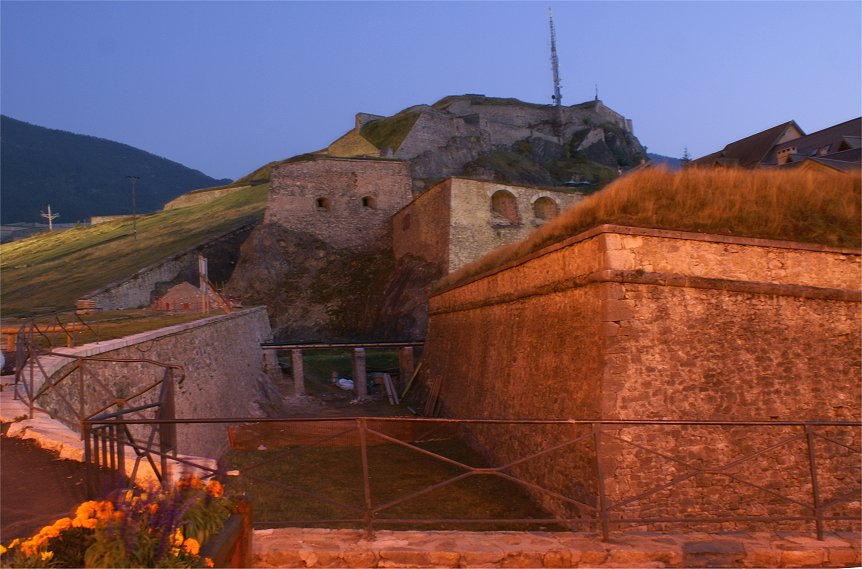
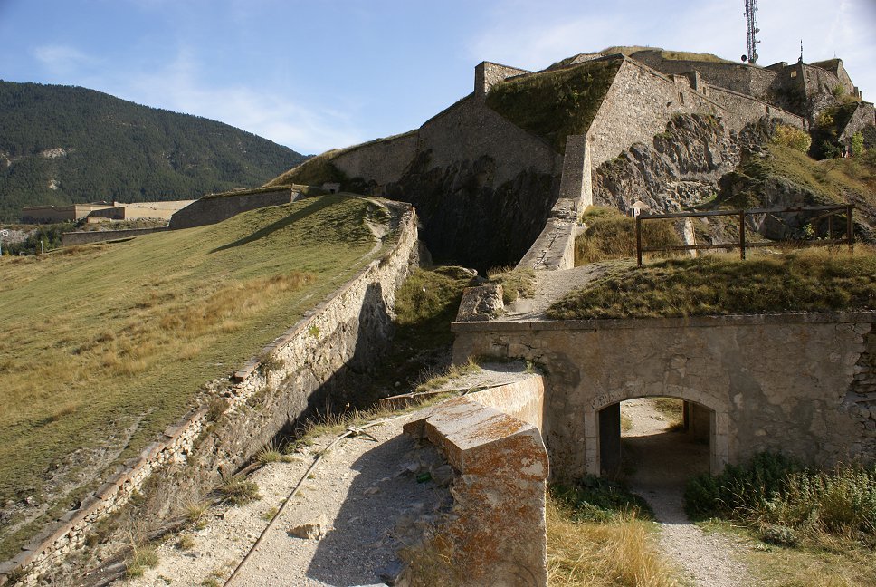
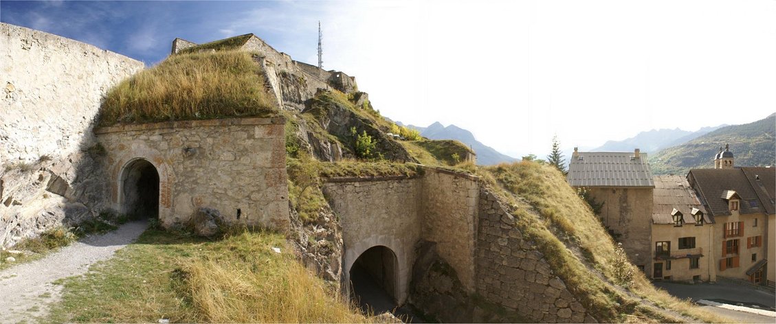
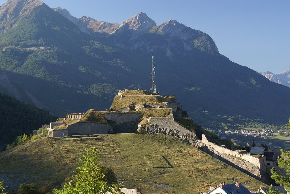
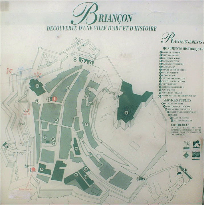
The highest town in France at 1326 meters, Briancon is a strategic Alpine crossroads on the main from Mont Genevre on the modern border with Italy.  Vauban was tasked with designing defenses for Briancon in the 1690s after problems with neighboring Savoy.  The previous designer had built bastions with narrow flanks.  Vauban adapted this into a unique design - a more standard bastion and demi-lune defense on the north (Pignerol) side, but with a deeper defense with a false bray on the west facing Embrun side and a tenaille trace in some locations.


Embrun Gate

The upper wall follows a traditional bastion trace, but below it is the false bray with a number of traverses, followed by a ditch, then what could be described as either a covered way or a counterguard.


Note the caponier leading to the steps up into the demi-lune.


A caponier can be seen in the right center of the panorama extending from the postern gate to the demi-lune.


The prominent gate at right-center I do not believe is a historic gate but rather a new one to ease access into town.


Here you can see a demi-lune at center, and at left-center the terraced casemates leading up to the citadel.  The small bridging visible above the orange fencing in the ditch is to supply water into town.


Terraced casemates are prominent on this face.


This is where the city walls connect with the citadel, which now features a cell phone tower.  Fort des Tetes can be seen in the background on the left.


On the far side of the citadel, bluffs descend to the river.  With terrain around the citadel as steep as it was, the standard bastion trace was unnecessary.  One threat to Briancon that could not be ignored was enemy artillery on the surrounding mountains.  Vauban built the Fort des Salettes north of Briancon.  In the early to mid 1700s, the Pont de Asfeld was constructed over a river gorge to high ground to the south where several forts were constructed.


Town of Briancon

Fort des Salettes

Pont d'Asfeld

Fort des Tetes

Communication Y

Fort Randouillet

Fort Dauphin 


Copyright 2011 by John Hamill


Back to John's Military History Tour of Europe